File:Central Los Llanos Zoning Map.png
Jump to navigation
Jump to search

Size of this preview: 711 × 599 pixels. Other resolution: 802 × 676 pixels.
Original file (802 × 676 pixels, file size: 114 KB, MIME type: image/png)
Summary
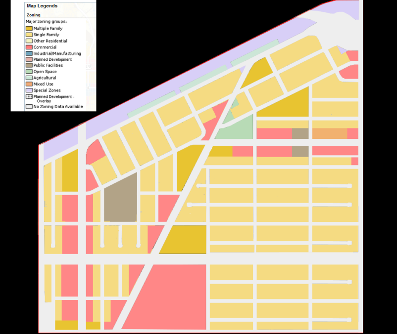
| Description |
English: Central Los Llanos Zoning Map, credit to Freyes |
|---|---|
| Source |
Own work |
| Date |
2022-04-30 |
| Author | |
| Permission (Reusing this file) |
See below. |
Licensing
File history
Click on a date/time to view the file as it appeared at that time.
| Date/Time | Thumbnail | Dimensions | User | Comment | |
|---|---|---|---|---|---|
| current | 17:15, 30 April 2022 | | 802 × 676 (114 KB) | BriLila (talk | contribs) | Uploaded own work with UploadWizard |
You cannot overwrite this file.
File usage
There are no pages that use this file.